One hundred and eighty two years ago, plus a few days, explorer and botanist Allan Cunningham and his six colleagues, 11 horses and some dogs, crossed the Gwydir River (which he thought was the Peel) at Bingara. After camping beside the River that night they continued their journey northwards camping on the banks of Reedy Creek near Warialda on the night of May 23.
Gwydir Shire Council, Warialda Tourism Group and Bingara and District VISION 20/20 are looking to develop the “Cunningham’s Trail” Project, as a part of their DISCOVER GWYDIR process.
The following is the exact wording taken from Cunningham’s Log for this part of his journey, including his punctuation.
21st May.
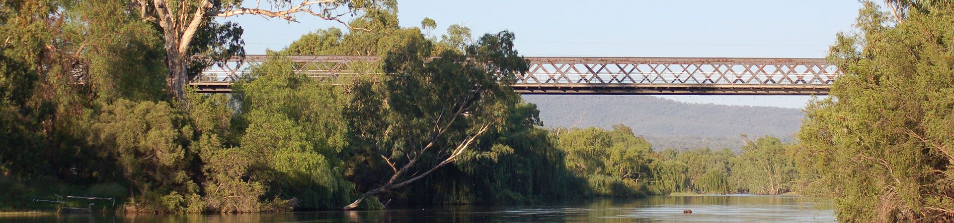
Prosecuting our Journey northerly, we traced the creek on which we had rested (Hall’s Creek), through the valley to the N.W. observing its beauties as we advanced became more fully developed. The Ranges that limit it on either side, gradually, as they stretch to the North, assume the Characters of open forest Hills, thinly wooded with small Trees, and appearing altogether less stony. After passing over some patches of grassy flat, clothed sparingly with Apple trees of robust habit, we follow’d the creek about 7 miles, to its discharge into a River of large Dimensions – doubtless the Peel of Mr. Oxley, which having flowed from the Southward through a seemingly gradual fall of Country to a level little more than 900 feet above the Sea, at length winds its course through the Eastern Hills, & passing the northern extremity of Stoddart’s Valley escapes to the lower Northwestern Interior. The Channel of this River, at the part we had forded it, exhibited a bed of gravel 250 Yards in breadth, which in Seasons of great Rains, is entirely occupied to the depth of 12 & 15 feet, as we gather’d from the flood-marks on its banks. The long existence of dry Weather, beneath the devastating effects of which an unknown extent of the Interior appear’d to be suffering, had however diminished the Water of the Peel to a breadth of not exceeding 50 Yards & to a depth so trifling, that it was fordable with safety in many places, other than its rapids, which did not exceed 12 inches.
Having occupied some time in crossing this River, and the day being almost spent, I halted, directing the Tents to be pitched upon the elevated forest ground on its right bank. As we descended Stoddart’s Valley to the River, we observed several of the Trees, had been completely and recently bark’d by the Natives, and on the Side of this stream, opposite our Encampment, large bodies of Smoke rose from the fired grasses; but we neither saw or heard any of the Indians, the prints of whose feet (as well of the adult as the child) we perceived on the grit-sand at the Ford.
Cunningham had wrongly identified the Gwydir as being the same river, the Peel, that explorer John Oxley had discovered near Tamworth a number of years earlier. Cunningham later named it the Gwydir River, after Lord Gwydir of Wales, for its portion downstream from its junction with Horton’s River. He may never have realised his error.
The “apple trees” he described were not apple fruit trees but Angophora floribunda, which has a habit similar to gum trees and, as the botanical name implies, is abundant in flower.
The present dry period in May, 2009 has the Gwydir River looking very similar to what Cunningham would have seen in 1827 and his “crossing place” is the same as the current ford near the Hall’s Creek junction.
Submitted by Rick Hutton Ph: 0428 255 380